
TASK: Surface Blending
Open Civil3D and select the proper SV drawing template and save your drawing as JOB#_SV-Topo.dwg.
Create a surface named “EG” comprised of LiDAR data (OH=ASCII DEM, PA=Shape File, WV=DEM) and make a note in the Description of the tile(s) i.e. "LiDAR Surface PASDA Tile 53001230PAS"
Import survey data and Create a surface named “Survey-Date” comprised of Points Group(s), Feature Lines and/or Breaklines.
Perform ALL edits such as flipping faces, resolving point elevation busts (if any) and trimming external triangles/ lines before proceeding any further.
After all edits have been performed, create an outer boundary either by extracting from the “Border Only” style or by drawing the line by hand as done in LDD.
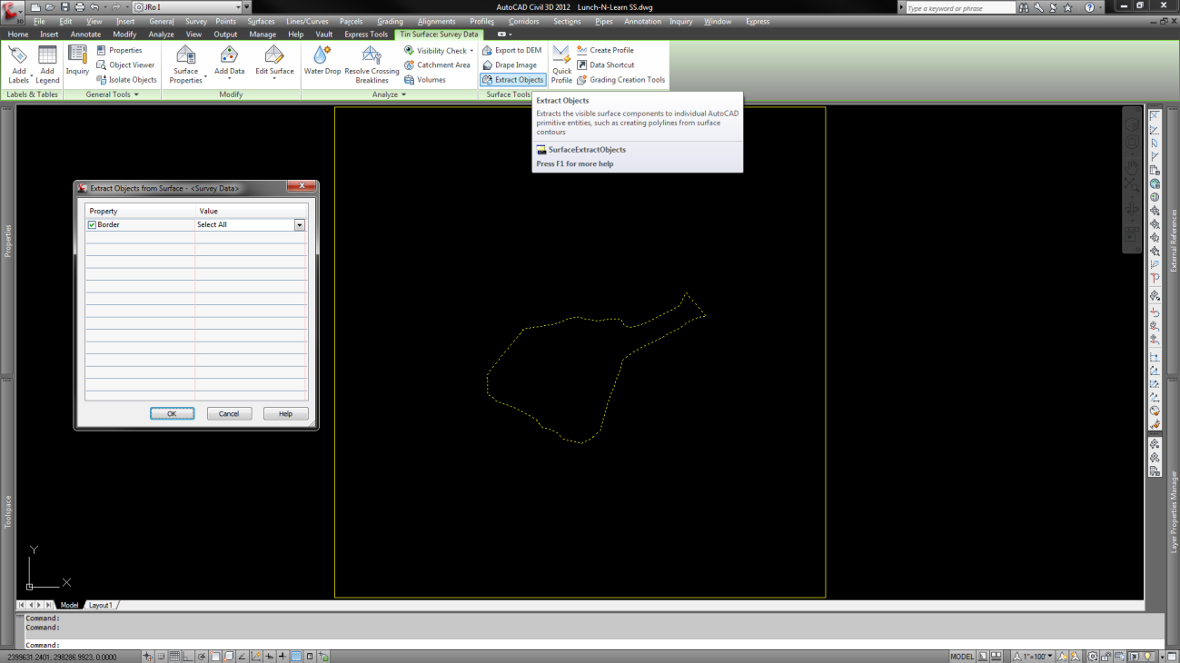
Create a stepped offset of about 20'± (more or less, depending on how wide the blend zone needs to be). This is dependent upon the quality of the LiDAR. WV is notoriously bad and sometimes needs a wider zone for the blend.
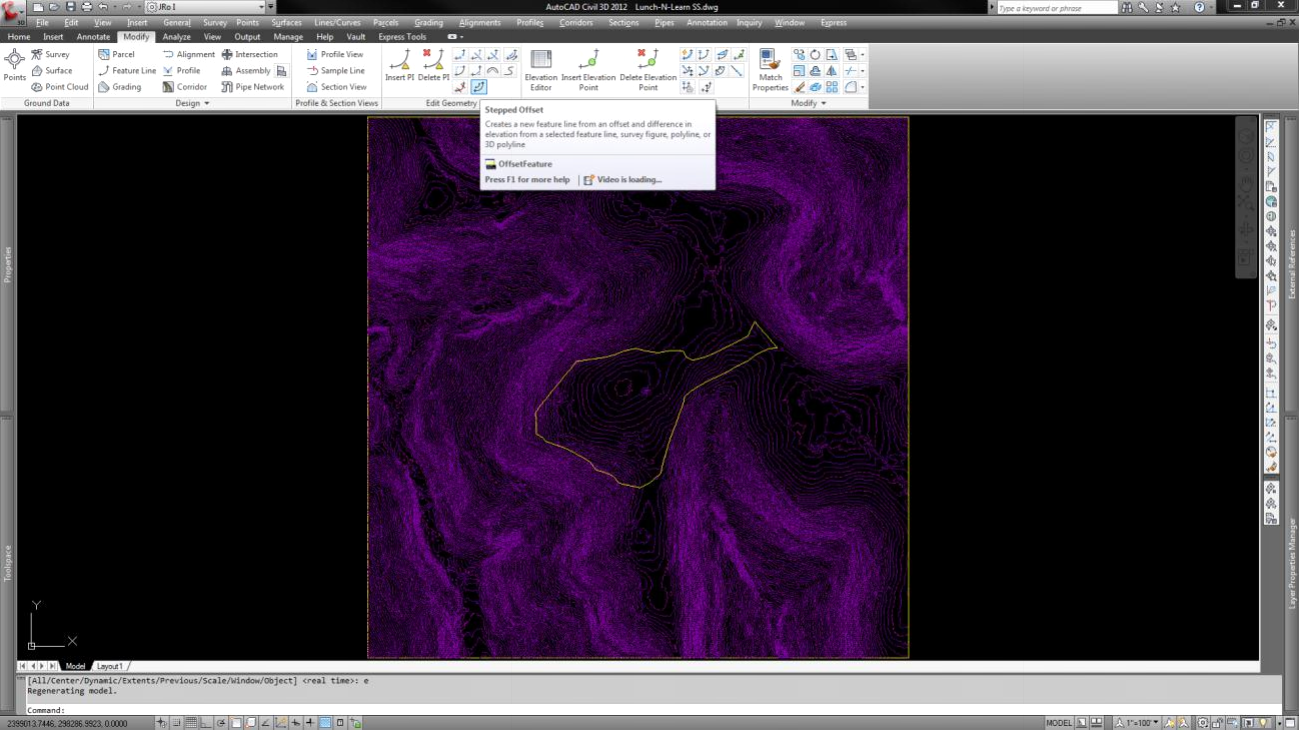
Use the ribbon button  to assign elevations from surface EG (your LiDAR or target surface).
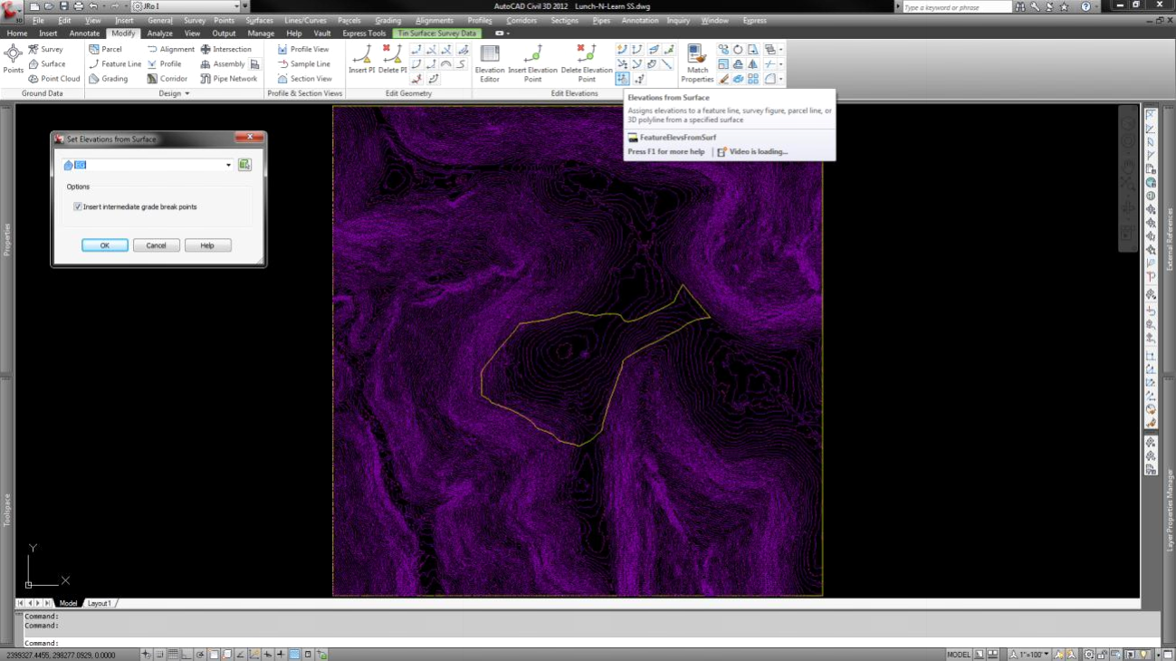
Now do the following things in the exact order listed.
Add the extracted/elevated border as:
1. A Breakline to Surface EG
2. A Hide Destructive boundary to Surface EG
3. A Breakline to Survey Surface
4. An Outer Non Destructive Boundary to Survey Surface
Set the Survey Surface to "No Display" and the EG to your preferred contour interval display mode and select it.
Go to the "Edit surface" menu and select "Paste". You should have a finished, blended surface!
Comments
0 comments
Please sign in to leave a comment.